
Vegetation Classification
Major Points
-
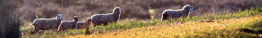
The Wieslander Vegetation Type Map (VTM) collection is a dataset compiled in the 1920s and 30s, consisting of photos, species inventories, plot maps, and vegetation maps covering most of California. The data provide a snapshot of the state's vegetation in the early 20th century, making the collection an invaluable resource for examining changes in land cover and use, or habitat restoration.
-
In the late 1980s and early 90s an oak-woodland classification system was developed from approximately 4300 field plots collected as part of the Vegetation Type Map (VTM) survey conducted during 1919-1940's by the USDA Forest Service Pacific Southwest Station.
-
The base information on species composition, percent cover by species, tree stand structure and environment was collected on 1/5 acre plots. Species cover was determined from a 33 foot wide belt on each plot.
-
By making this data set available on the web, the Vegetation Type Mapping project at UC Berkeley is providing a valuable service to current and future vegetation scientists and land managers.
Useful Web Sites
Scientific Reports
-
Allen-Diaz, B.H. and B.A. Holzman. 1991. Blue oak communities in California. Madrono 38(2):80-95.
-
Allen, B.H., B.A. Holzman, and R.R. Evett. 1991. A classification system for California's hardwood rangelands. Hilgardia 59(2):1-45.
-
Kelly, M., B. Allen-Diaz, and N. Kobzina. Digitization of a historic dataset: the Wieslander California vegetation type mapping project. Accepted in Madrono
-
Keeley, J.E., 2004. VTM plots as evidence of historical change: goldmine or landmine? Madrono 51(4): 372-378.
-
Franklin, J., 2002. Enhancing a regional vegetation map with predictive models of dominant plant species in chaparral. Applied Vegetation Science, 5: 133-146
-
Ertter, B., 2000. Our undiscovered heritage: Past and future prospects for species-level botanical inventory. Madrono, 47(4):237-252